
Thompson Trail #629
✅ Field Verified: July 2026
2.5 MI
DISTANCE
40' / -228'
ELEVATION GAIN / LOSS
OUT & BACK or CONNECTOR
ROUTE TYPE
Big Lake
LOCATION
Trail Ratings
🥾🥾
DIFFICULTY
📍📍
REMOTENESS
🌄🌄🌄🌄🌄
SCENIC EXPERIENCE
🧭🧭
NAVIGATION
🌲🌲
SOLITUDE
These ratings reflect real-world trail conditions in the White Mountains.
Difficulty measures physical effort. Remoteness, navigation, and solitude reflect the level of self-reliance required.
Map & Route
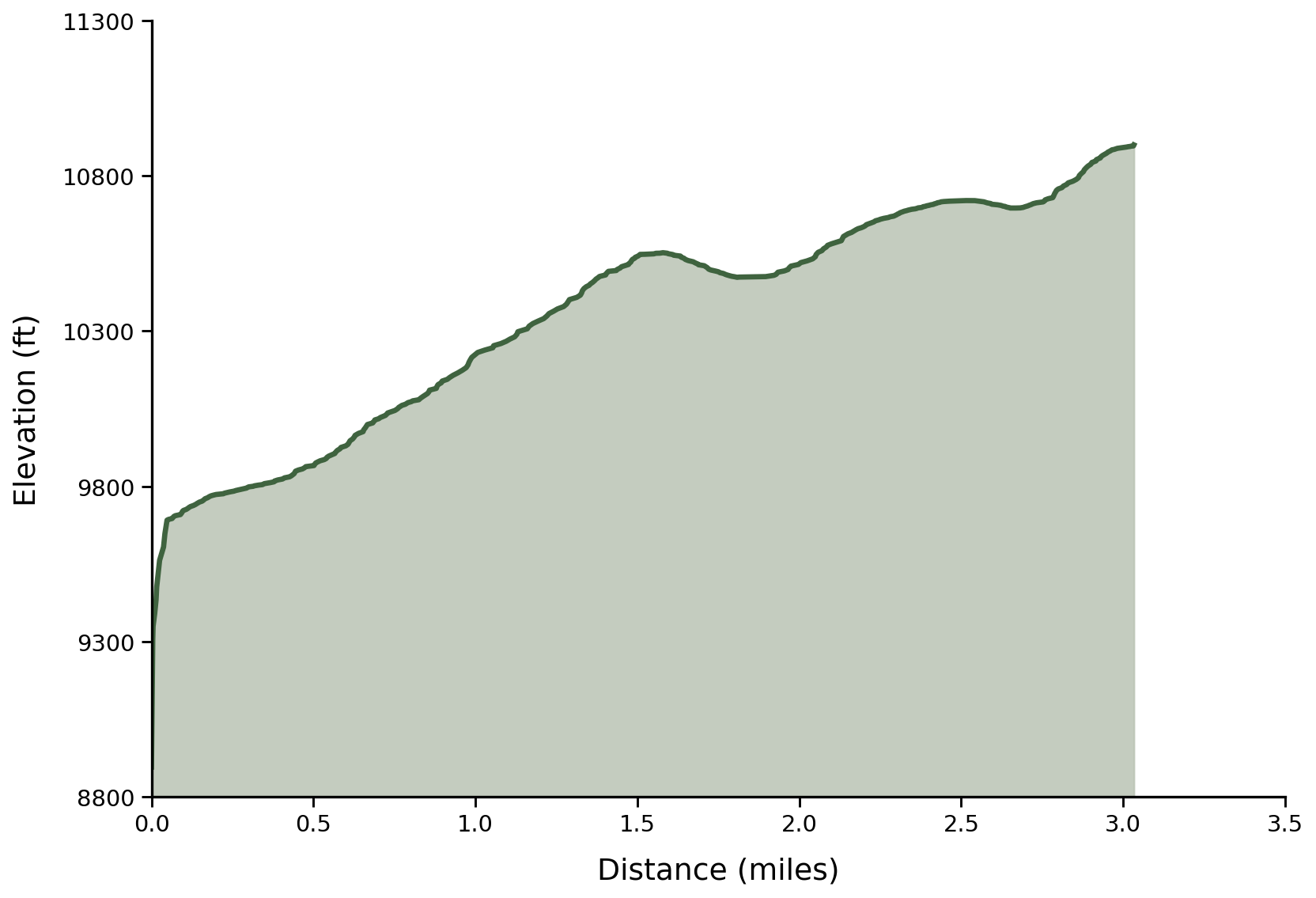
Field Verified Route: this GPS track was recorded and verified on the ground by Hike Southwest. Route details, conditions, and navigation notes are based on firsthand experience whenever possible.
Trail Overview
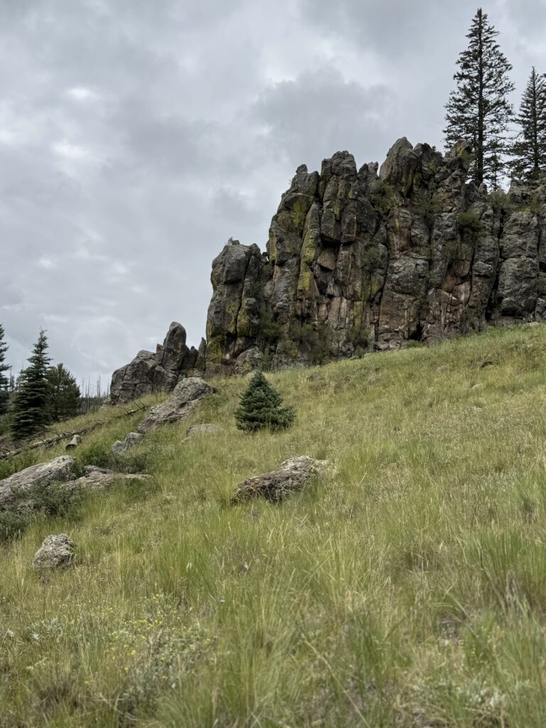
Thompson Trail is one of the White Mountains' signature hikes, combining excellent tread, easy access, and nearly constant views of the upper West Fork of the Black River. Flowing water, towering spruce and pine, rocky canyon walls, and cool mountain air create a hike that has just about everything many hikers are looking for.
Whether you're enjoying it as a relaxing out-and-back or continuing beyond the terminus onto West Fork Trail #628 for a longer wilderness adventure, it's easy to see why Thompson remains one of the forest's most popular trails.
Trail Conditions
Trailhead
From the parking area, Thompson Trail begins after a short walk down the forest road where an old two-track begins following alongside the West Fork of the Black River. You'll pass a historic Apache trout barrier early in the hike that makes for a pretty waterfall.
Use & Route Options
At the 0.39-mile mark the Thompson Trail departs from the two-track dipping down to follow alongside the water. At this point the trail becomes open to hikers and anglers only while the parallel two-track above the creek provides an alternate route for horses and mountain bikes.
The two routes reconnect near the junction with West Fork Trail #628, allowing visitors to create a loop or vary their return route. Conditions on the upper route may differ from those along the creekside trail.
Creekside
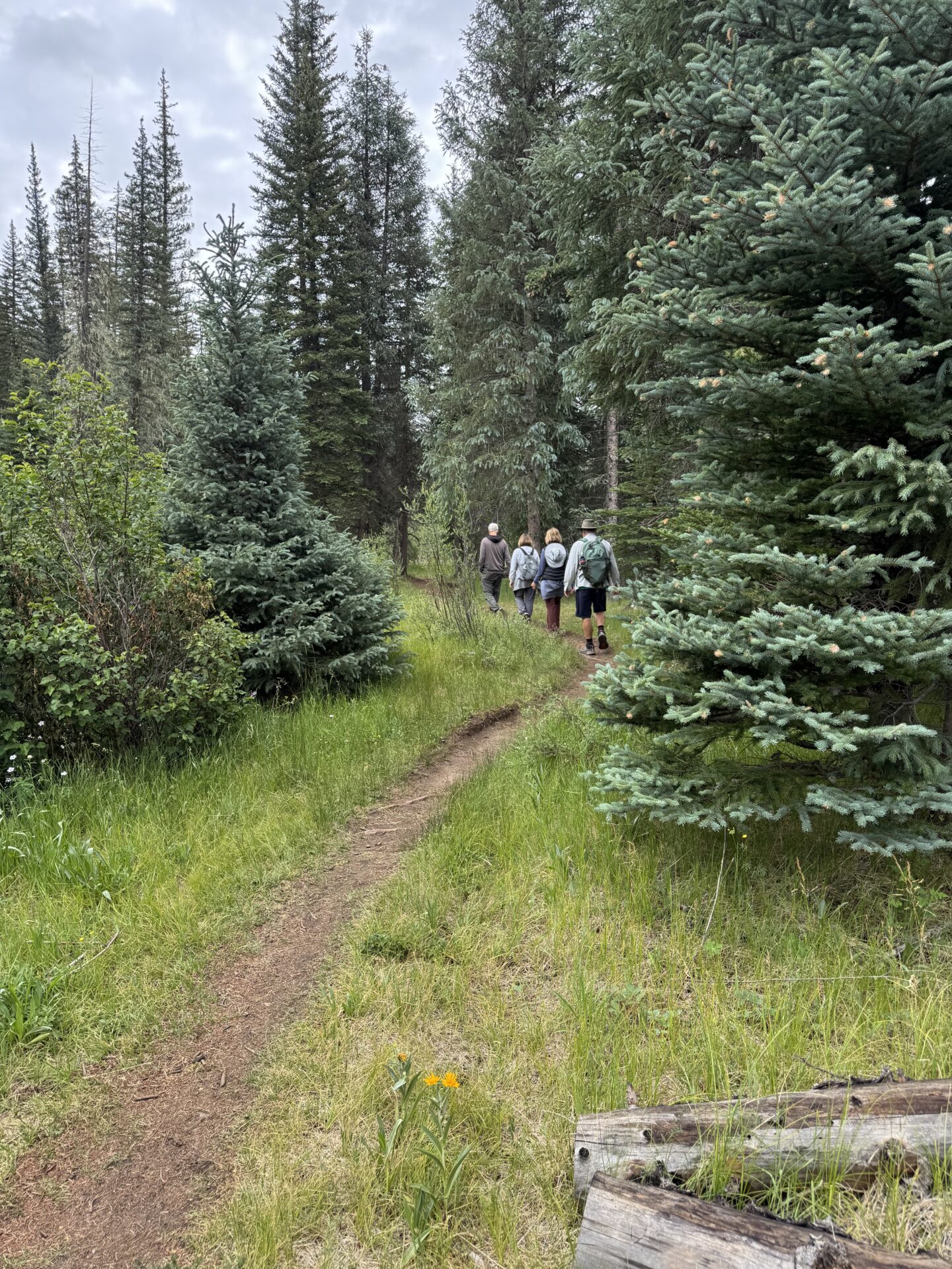
The trail quickly settles into its familiar rhythm, alternating between the creek's edge and short climbs onto the bank to bypass rocky outcrops and side drainages. Expect scattered rocks, exposed roots, and occasional stands of Apache willow. Rather than a groomed or manicured path, Thompson has the character of a classic mountain fishing trail - well worn, easy to follow, and shaped by decades of hikers and anglers.
Meadows
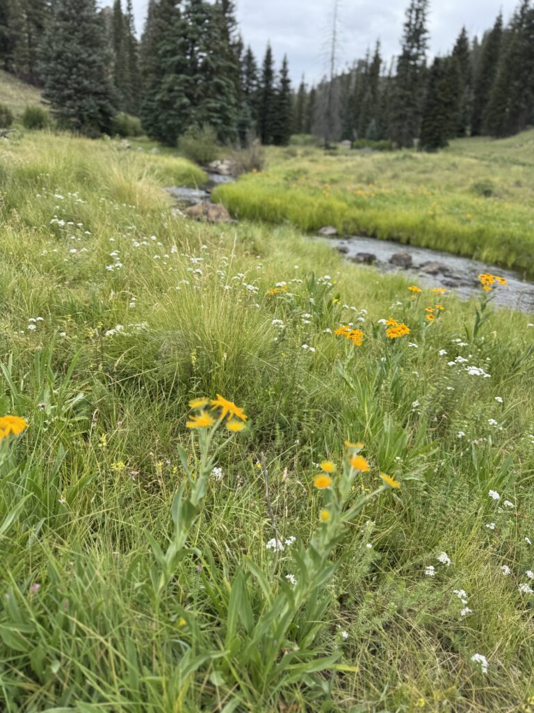
Several beautiful grassy meadows break up the forest, creating a welcome change of scenery and, during the growing season, colorful displays of wildflowers. Around the half-way point of the hike, the trail passes through a large sub-irrigated meadow that can become damp during the monsoon season. Expect to encounter a few wet or muddy spots after periods of rain.
Drainages
Throughout the hike, several small side drainages cross the trail. Most are easy to negotiate, though some may require stepping across rocks or navigating short muddy sections depending on recent weather. The trail remains clearly defined throughout, with a handful of exposed roots, rocky stretches, and approximately 4–6 downed trees that are easily crossed or walked around.
Terminus
As you near the junction with West Fork Trail #628, the trail becomes slightly more rustic, with a handful of wet areas and side drainages that may require careful footing.
Thompson officially ends at the junction, but it feels less like a finish line and more like an invitation to cross to the other side of the river and continue exploring the West Fork Trail.
Current Conditions
Last Surveyed: July 2026
By: Hike Southwest / Alpine Trail Stewards
Tread Condition
Good
Blowdown
Currently 4-6 downed tree are present but passable
Water
Reliable - treatment required before drinking
Signage
Limited beyond trailhead
Hazards
Seasonal flooding/mud, exposed roots and rocks
Passability
Hiker — Yes
Stock — No
Access & Trailhead
📍 Trailhead GPS
33.88462', -109.46985
🌲Apache National Forest / Springerville Ranger District
Big Lake
🏕️ Trailhead Facilities
None
🚗 Access Route
South on Forest Road 116 off Hwy 273 west of Big Lake
🅿️ Parking
Small roadside parking area
📵 Cell Service
None
❄️ Seasonal Access
High-elevation snow and seasonal road closures may limit access well into the spring.
🏔 Nearest Town
Alpine
Help Keep Trail Information Current
Encountered a downed tree or major obstacle? Share what you found so other hikers can plan accordingly and help us identify trails that may need attention.
Gear Notes
- Trail runners or light hiking shoes with good traction for occasional rocks, roots, and muddy sections.
- Trekking poles help in wet areas and uneven footing,
- Water filter or purifier for treating water before drinking.
- Rain jacket or hiking umbrella for summer monsoon showers.
- Satellite communicator (such as a Garmin inReach® or similar) is recommended.
Safety Notes
- Remote location with extended emergency response times.
- Weather can change quickly, especially during the summer monsoon season.
- Creek levels can rise rapidly after heavy rain or spring runoff, making crossings along West Fork Trail #628 difficult if you continue beyond the Thompson Trail terminus.
- No cell service along the trail.
This post contains affiliate links. We may earn a small commission at no additional cost to you. Thank you for supporting Hike Southwest and the trails we love.
Trail Story
Beyond the maps and trail details, every hike has a story. Read our journey along Thompson Trail and discover the moments that made this hike unforgettable.
🧭 Adventure Begins with Preparation
Every trail has its own challenges, and conditions can change quickly. A little planning goes a long way. Before heading out, take a few moments to prepare, understand the risks, and make informed decisions for a safer, more enjoyable adventure.