
Sawmill Trail #39
✅ Field Verified: April 2026
5.4 MI
DISTANCE
2,800'
ELEVATION GAIN
OUT & BACK
ROUTE TYPE
BLUE RANGE PRIMITIVE AREA
LOCATION
Trail Ratings
🥾🥾🥾🥾
DIFFICULTY
📍📍📍📍
REMOTENESS
🌄🌄🌄🌄
SCENIC VALUE
🧭🧭🧭🧭🧭
NAVIGATION
🌲🌲🌲🌲🌲
SOLITUDE
These ratings reflect real-world trail conditions in the White Mountains.
Difficulty measures physical effort. Remoteness, navigation, and solitude reflect the level of self-reliance required.
Map & Route
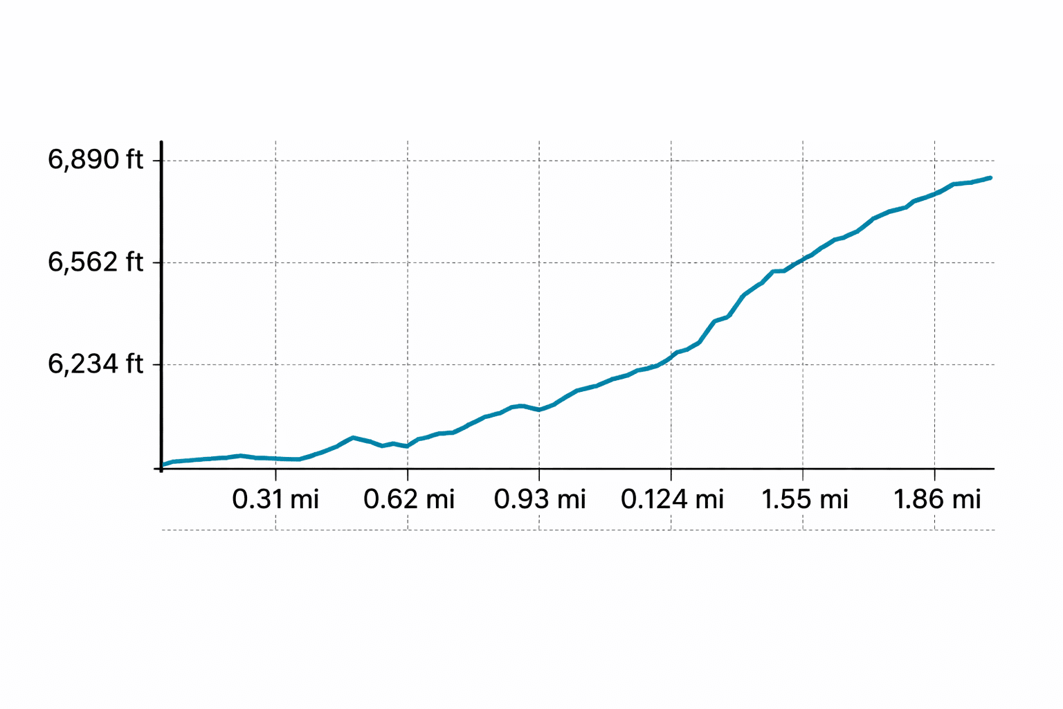
Field Verified Route: this GPS track was recorded and verified on the ground by Hike Southwest. Route details, conditions, and navigation notes are based on firsthand experience whenever possible.
Trail Overview
Sawmill Trail climbs steadily from Blue River Road, gaining elevation quickly before intersecting with Telephone Ridge at approximately 3.5 miles. From there, the route continues along the ridgeline before terminating at its junction with WS Lake Trail #54.
Hikers continuing beyond the junction for approximately 0.25 miles will reach the Bear Mountain lookout cabin and fire tower.
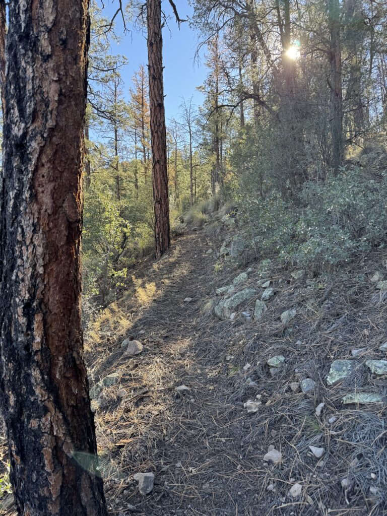
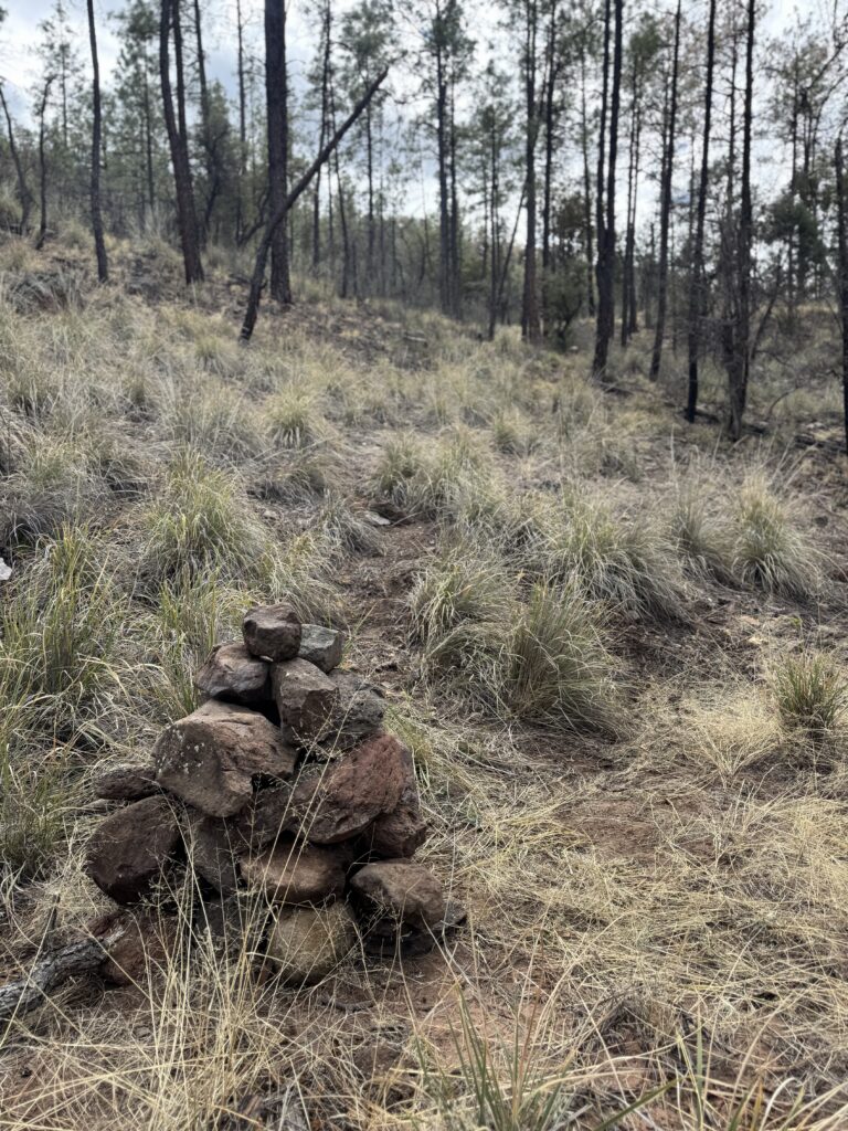
Sections along Telephone Ridge can become faint due to brush and downed trees. Route-finding is required, especially when descending near the ridge split. Carry a map or GPS and expect less defined tread in upper sections.
Trail Conditions
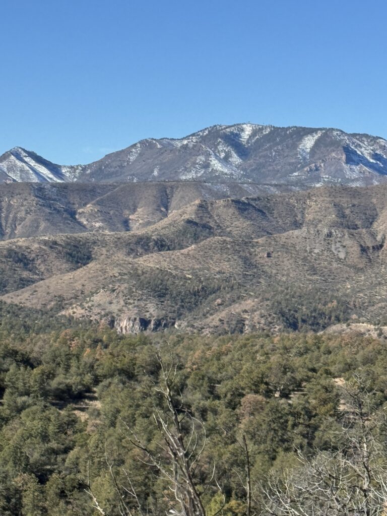
Sawmill Trail begins climbing immediately from the Blue River Road, gaining elevation at a steady pace. Within the first half mile, the trail climbs roughly 400 feet to the spine of the first ridge, offering an early vantage point across the Blue River drainage and surrounding canyon country.
Mid Trail Progression
The trail descends briefly across a series of benches before beginning a second sustained climb. This section is notably steeper and more vertical, potentially challenging for less experienced hikers and equestrians. Near the 2-mile mark, and after gaining approximately 1,000 feet in elevation, a second ridge opens up broader views into Foote and Grant Canyons.
Early Climb & First Ridge
Beyond this point, the grade becomes less aggressive as the trail works across a series of benches. A non-designated trail branches off toward the Blue River, but the main route continues climbing. After crossing another bench, the trail begins its final steep push toward the 3.4-mile mark and a saddle.
Telephone Ridge Junction & Final Ascent
At the saddle, the trail intersects with Telephone Ridge Trail #42, a steep 0.9-mile connector to Largo Trail #51. From here, Sawmill turns right and follows the high ridgeline of Telephone Ridge. The climbing continues steadily along the ridge crest, with panoramic views in all directions and cumulative elevation gain building toward the final junction.
Navigation Considerations
Navigation becomes more nuanced along the upper ridge. Brush and downed trees are common in sections that have not been recently cleared, and the tread can fade into game trails. When descending, special attention is required at a subtle ridge split. The western branch may appear more defined, but the correct route follows the eastern ridge.
Final Stretch & Destination
Sawmill Trail terminates at its junction with WS Lake Trail #54. To reach the Bear Mountain lookout cabin and fire tower, continue approximately 0.25 miles beyond the junction, gaining additional elevation to the summit. The Bear Mountain summit delivers expansive panoramic views across the Blue Range and Mogollon Rim—arguably the most rewarding point of the hike.
Current Conditions
Last Surveyed: Feb 2026
By: Hike Southwest / Alpine Trail Stewards
Tread
Clear to ~2.5 miles; moderate beyond
Blowdown
Minor below ridge; moderate on upper ridge
Water
None
Signage
Limited; may vary
Hazards
Steep grades, ridge exposure, navigation challenges
Passability
Hiker — Yes
Stock — Can be challenging in steep sections
Stewardship Report
2/7/26 — Removed 20 trees and brushed back to the 2.5 mile mark
Access & Trailhead
📍 Trailhead GPS
33.58653, -109.14846
🌲Apache National Forest / Alpine Ranger District
Blue Rang Primitive Area
🏕️ Trailhead Facilities
None
🚗 Access Route
Blue River Road via US 180 → FR 281
🅿️ Parking
Small roadside parking area
📵 Cell Service
None
❄️ Seasonal Access
Winter conditions may limit access
🏔 Nearest Town
Alpine / Nutrioso
Help Keep Trail Information Current
Encountered a downed tree or major obstacle? Share what you found so other hikers can plan accordingly and help us identify trails that may need attention.
Gear Notes
- Trekking poles are highly recommended for sustained climbs and descents
- Footwear with strong traction is important due to rocky and uneven tread
- Carry sufficient water—no reliable sources along the route
- Hiking umbrella as upper ridge exposure increases wind and sun exposure
- Satellite communicator (such as a Garmin inReach® or similar) is recommended.
Safety Notes
- Remote location with extended emergency response times
- Navigation requires attention along Telephone Ridge, especially when descending
- Weather can shift quickly; summer brings heat and monsoon storms
- Plan for a full-day effort if continuing to Bear Mountain summit
This post contains affiliate links. We may earn a small commission at no additional cost to you. Thank you for supporting Hike Southwest and the trails we love.
Trail Story
Sawmill Trail is more than a climb to a fire tower. It’s a journey through the scars of wild fire, high ridgelines, and one of the most unforgettable viewpoints in eastern Arizona.
Nearby Trails
- Telephone Ridge Trail #42 →
- Largo Trail #51 →
- Foote Creek Trail #76 →
- WS Lake Trail #54 →
🧭 Adventure Begins with Preparation
Every trail has its own challenges, and conditions can change quickly. A little planning goes a long way. Before heading out, take a few moments to prepare, understand the risks, and make informed decisions for a safer, more enjoyable adventure.